Skip to page content

Local regions guide

Regions & neighborhoods

Choose a city area, then explore its regions and smaller communities. Housing history and ownership details belong to the individual place and property.

City → region → neighborhood

Explore regions & neighborhoods.

Choose Olympia, Lacey or Tumwater. Then open a region to explore its neighborhoods, subdivisions, housing history and local photographs.

These are useful browsing groups. County peninsulas and rural areas keep their actual jurisdiction in their profiles.

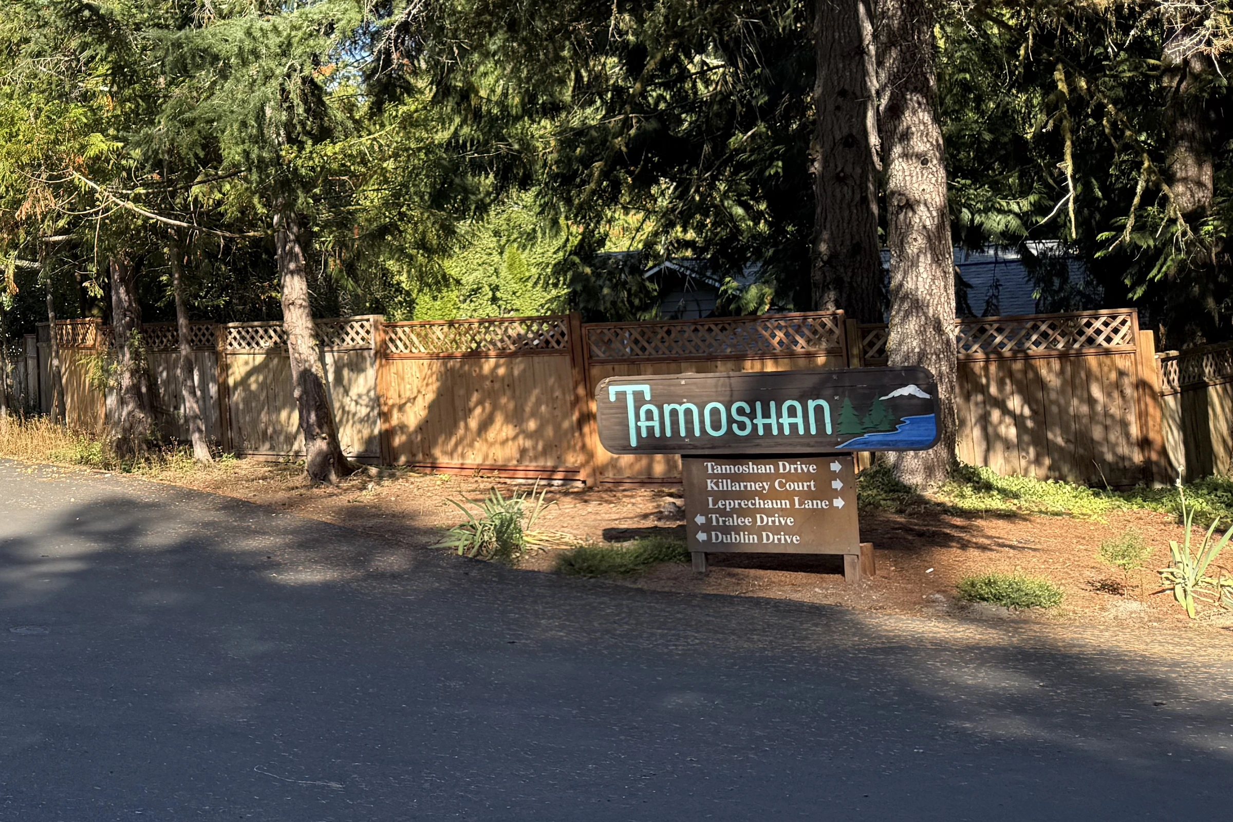
Tamoshan entrance sign beneath tall trees on Cooper Point
The Tamoshan entrance sign marks one of Cooper Point’s named residential communities.

9 place & record profiles within

Cooper Point

Cooper Point Road, the country-club approach and the Budd Inlet side of the peninsula.

Explore this region →
See the neighborhoods & subdivisions
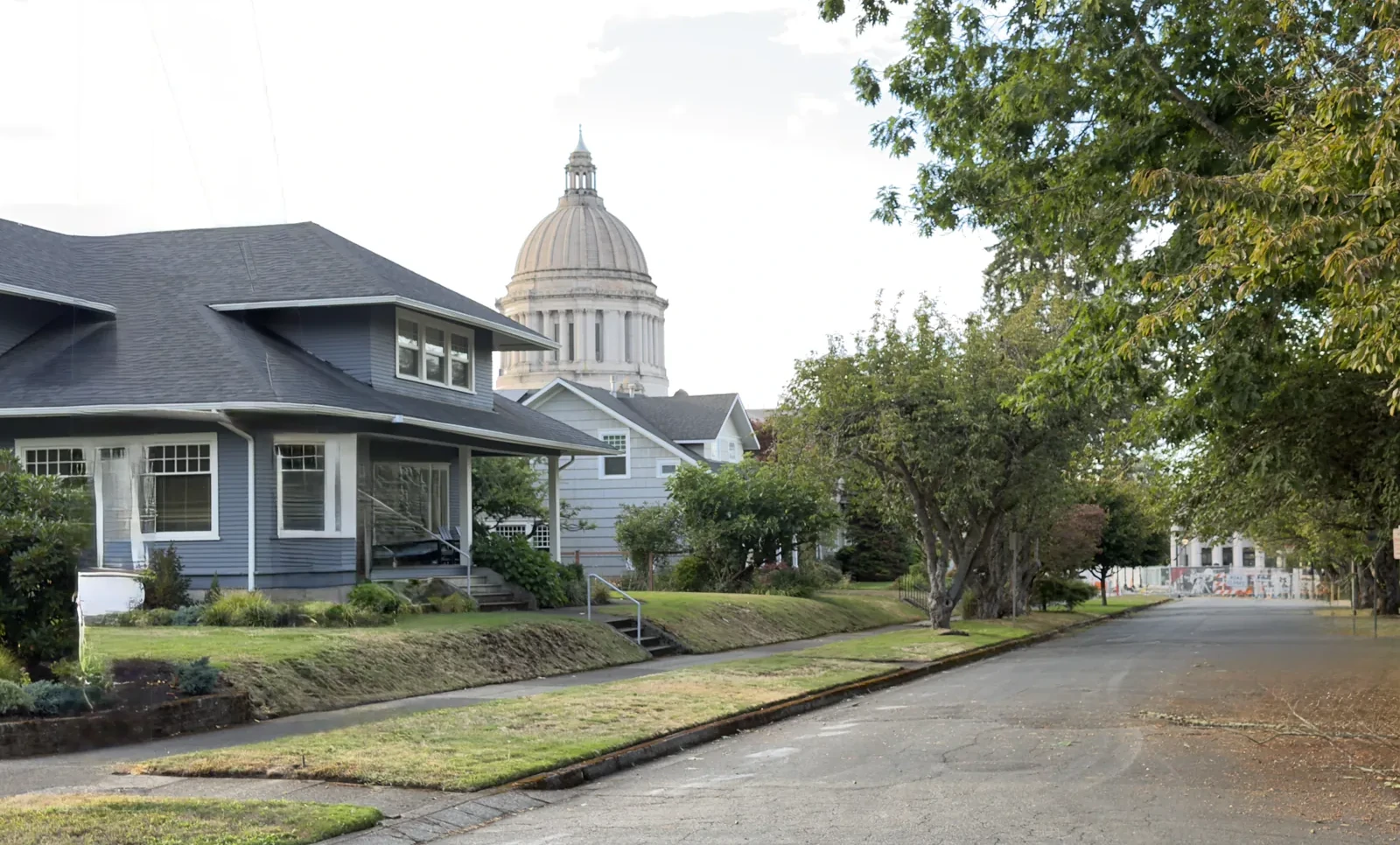
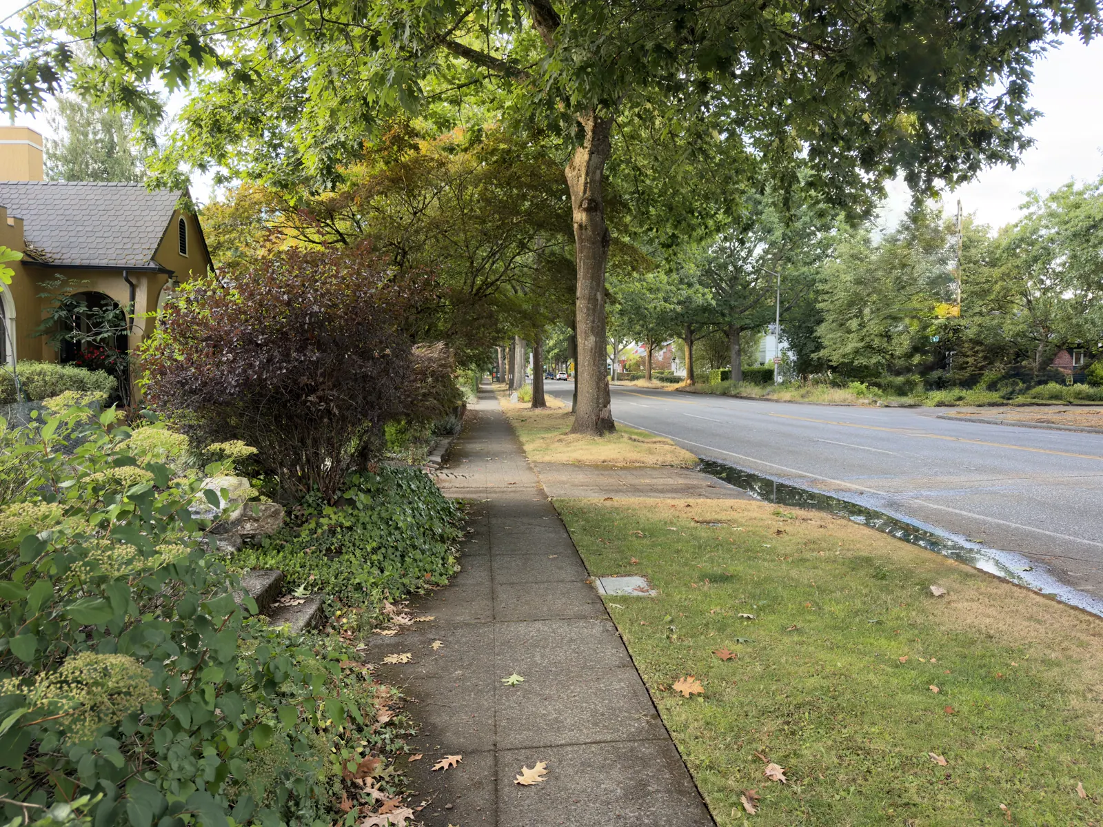
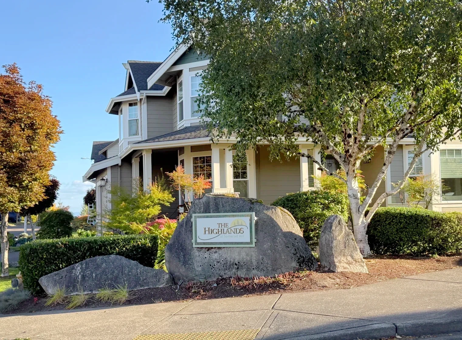
Tree-lined Westside Olympia street corner near neighborhood services
Westside street corner

37 place & record profiles within

West Olympia

Harrison, Division, the established Westside, West Bay hillsides and urban residential communities.

Explore this region →
See the neighborhoods & subdivisions
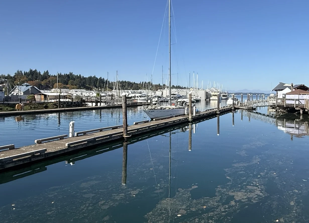
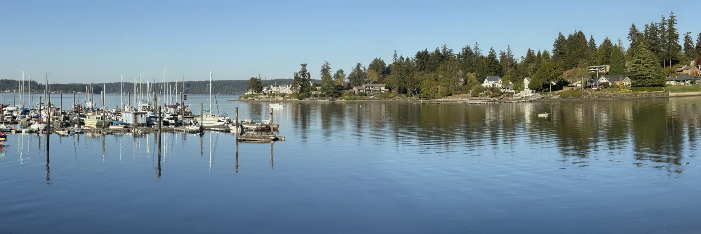
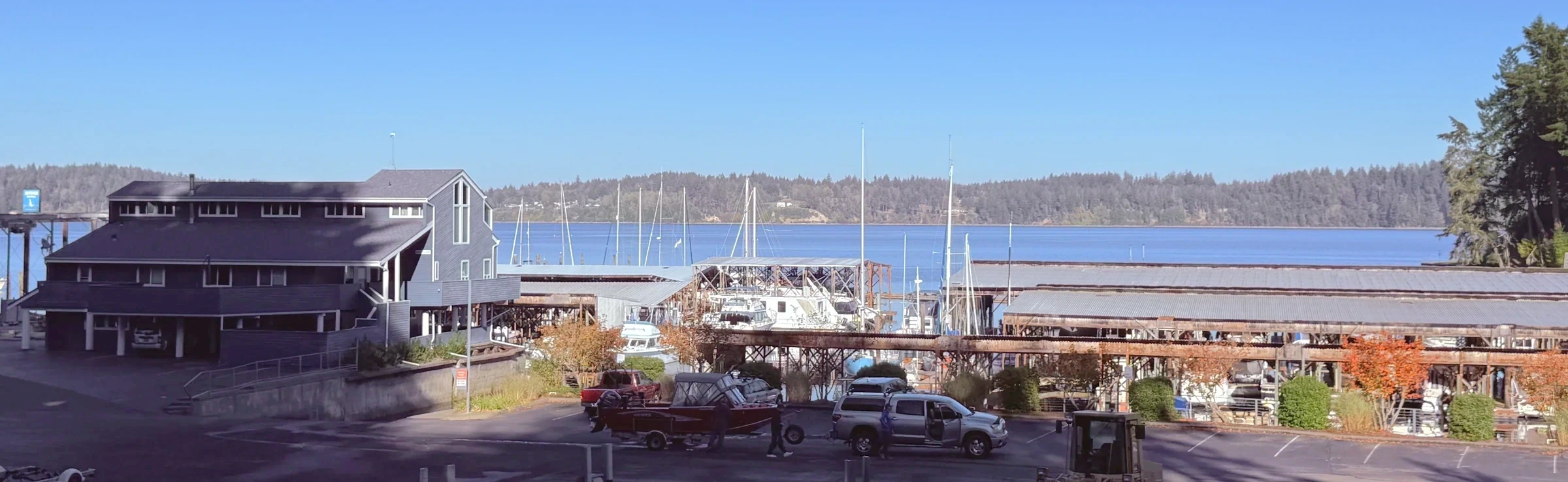
Marina water, docks and sailboats at Percival Landing in Olympia
Docks and marina water at Percival Landing show part of downtown Olympia’s waterfront setting.

8 place & record profiles within

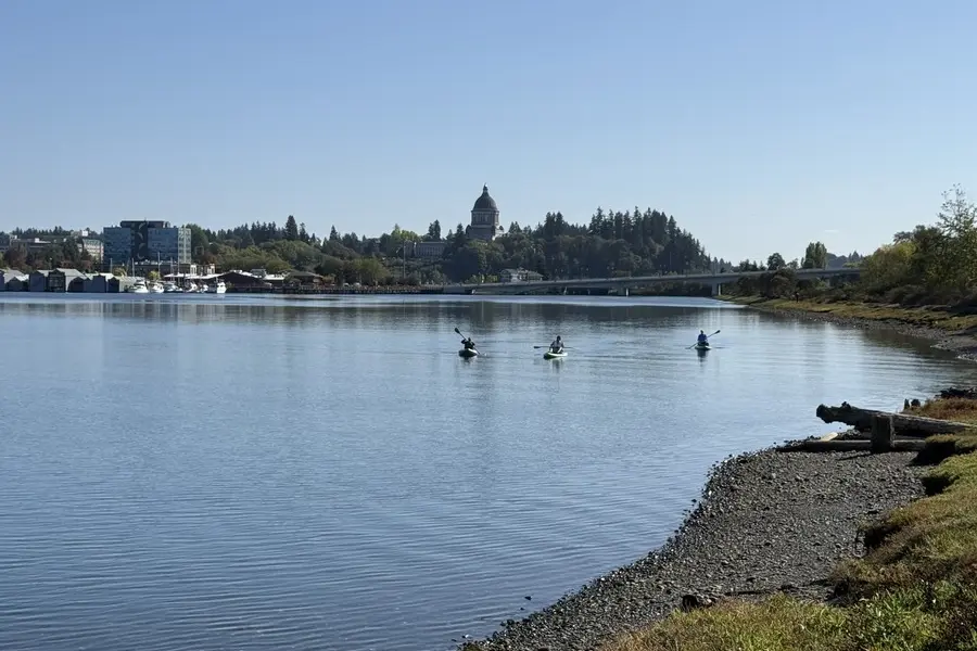
Downtown Olympia

The waterfront, market, city grid and Capitol Campus approach.

Explore this region →
See the neighborhoods & subdivisions

9 place & record profiles within

The Eastside

The established streets east of downtown around State, Fourth, Pacific and the Eastside neighborhood.

Explore this region →
See the neighborhoods & subdivisions
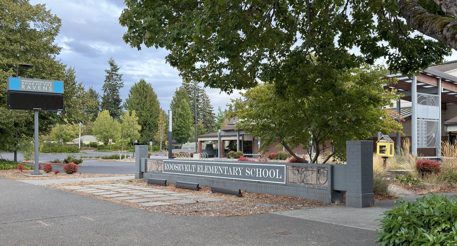
Roosevelt Elementary School on San Francisco Avenue in northeast Olympia
Roosevelt Elementary landmark

15 place & record profiles within

Northeast Olympia

Bigelow, Upper Eastside, East Bay Drive and the Northeast neighborhood, each with a separate identity.

Explore this region →
See the neighborhoods & subdivisions
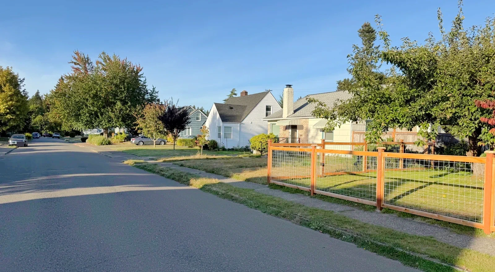
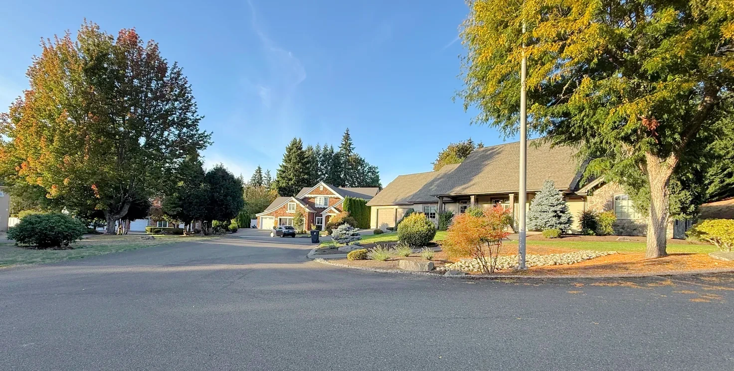
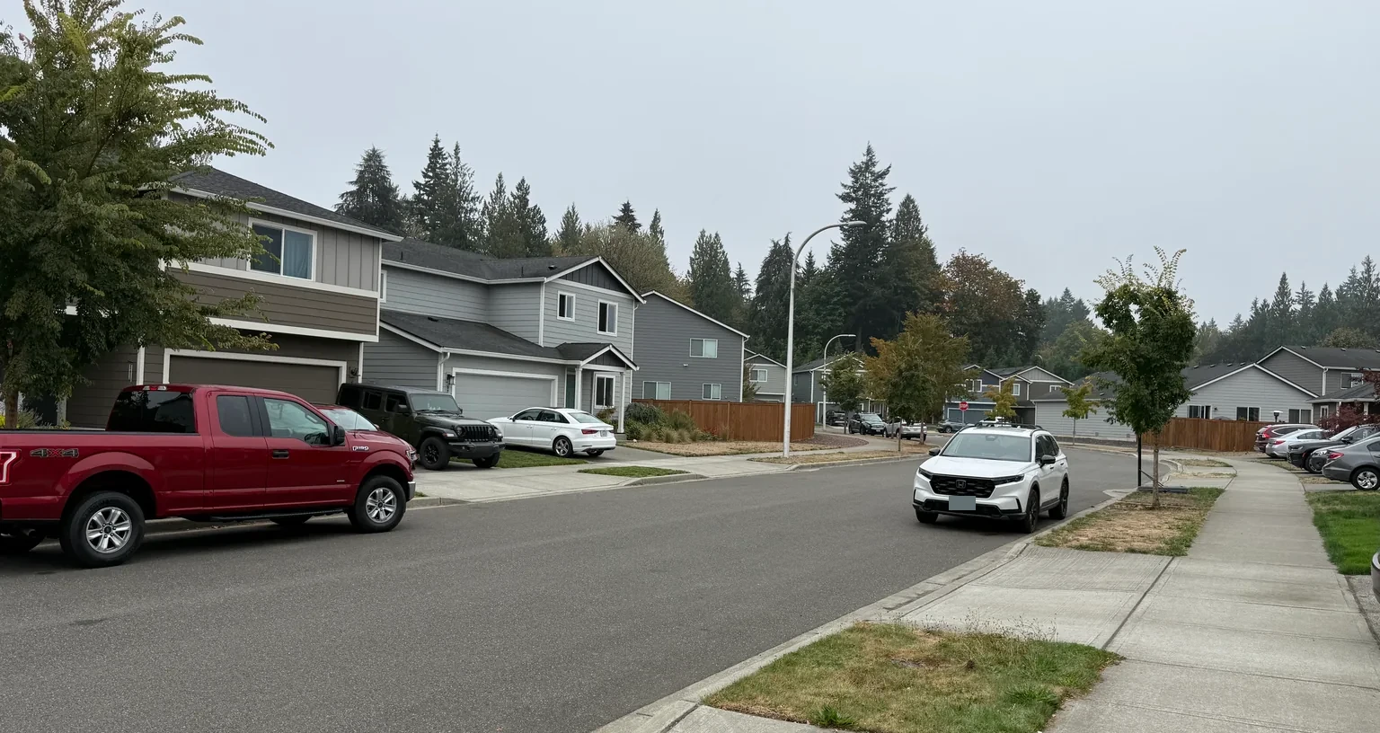
Established homes, driveways and trees in the Cain Road and Indian Creek area
Cain Road / Indian Creek streets

19 place & record profiles within

Southeast Olympia · Boulevard & LBA

Cain Road, Boulevard, LBA and distinct established communities on the urban southeast edge.

Explore this region →
See the neighborhoods & subdivisions
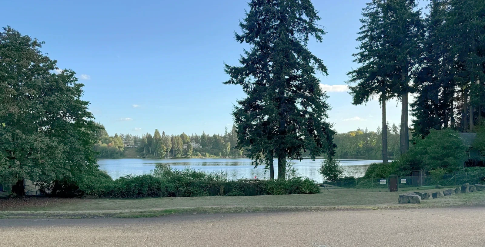
Ward Lake seen between trees and homes along Lakehurst Drive SE
Ward Lake from Lakehurst Drive

8 place & record profiles within

Ward Lake & Henderson

Ward Lake, Holiday Hills, Braemar and the distinct communities and phases around Briggs Village.

Explore this region →
See the neighborhoods & subdivisions

9 place & record profiles within

East Olympia & Evergreen Valley

The county-side southeast beyond the urban neighborhoods: wooded communities, rural roads and distinct lake pockets.

Explore this region →
See the neighborhoods & subdivisions

Neighborhoods are included with or without photographs. Recorded-name groups are research aids, not a claim that every name is a distinct neighborhood. A community’s first plat date is different from a particular house’s year built.

Your next step, at your pace

Let’s compare the regions—and specific neighborhoods—that fit your life.

I can help you buy a home—from choosing where to look and touring properties to negotiating your offer and navigating closing. Tell me what you’re hoping to find. We’ll talk about working together and make a plan.

Stay informed

Your local market, explained.

Get Kyle’s weekly brief, monthly housing report, or both.

Kyle Knows Oly

Your local edge.
Straight to your inbox.

Weekly local discoveries and buying tips. Monthly Thurston County housing numbers, explained by Kyle Murphy.

Preview the latest market report →

Add a phone number or a note (optional)
Email preferences

By submitting, you ask Kyle to email your selected updates. Unsubscribe at any time. Privacy