
Parks & local places
Burfoot Park. Check the route and public access from the home you’re considering.
A local guide to everyday life
A wooded waterfront community north of Olympia, where the marina, school and nearby Burfoot Park give the area recognizable gathering places and the route home feels different from the city grid.
Individual detached homes, shoreline houses and wooded residential lots
A wooded or shoreline setting may add maintenance and property questions.
Start with the address
School boundaries can differ from city limits, mailing addresses and neighborhood names. Check the specific home before relying on an assignment.
Open the county’s Elections and Schools Map or Property Map. Search the address, then confirm the result with the district.
Enrollment information and the district’s school-boundary lookup. This is a regional starting point, not a confirmed assignment for Boston Harbor.
An ordinary week
Burfoot Park. Check the route and public access from the home you’re considering.
Compare groceries, pharmacy stops and your other regular errands from the actual driveway. Check store hours and the trip at the time you normally go.
Boston Harbor Road · East Bay Drive · Woodard Bay Road · Libby Road. Test the connection from your street at your actual travel hours.
When you’re ready to look
Live listings are not connected
A verified property search can be added here once a provider and search area are selected. There are no live listing results on this page.
See the place
Original photographs by Kyle Murphy. Open a thumbnail for the full view and location caption.
Only if you want the deeper dive
Street-level photos, local history and the detailed housing research are here when you need them.
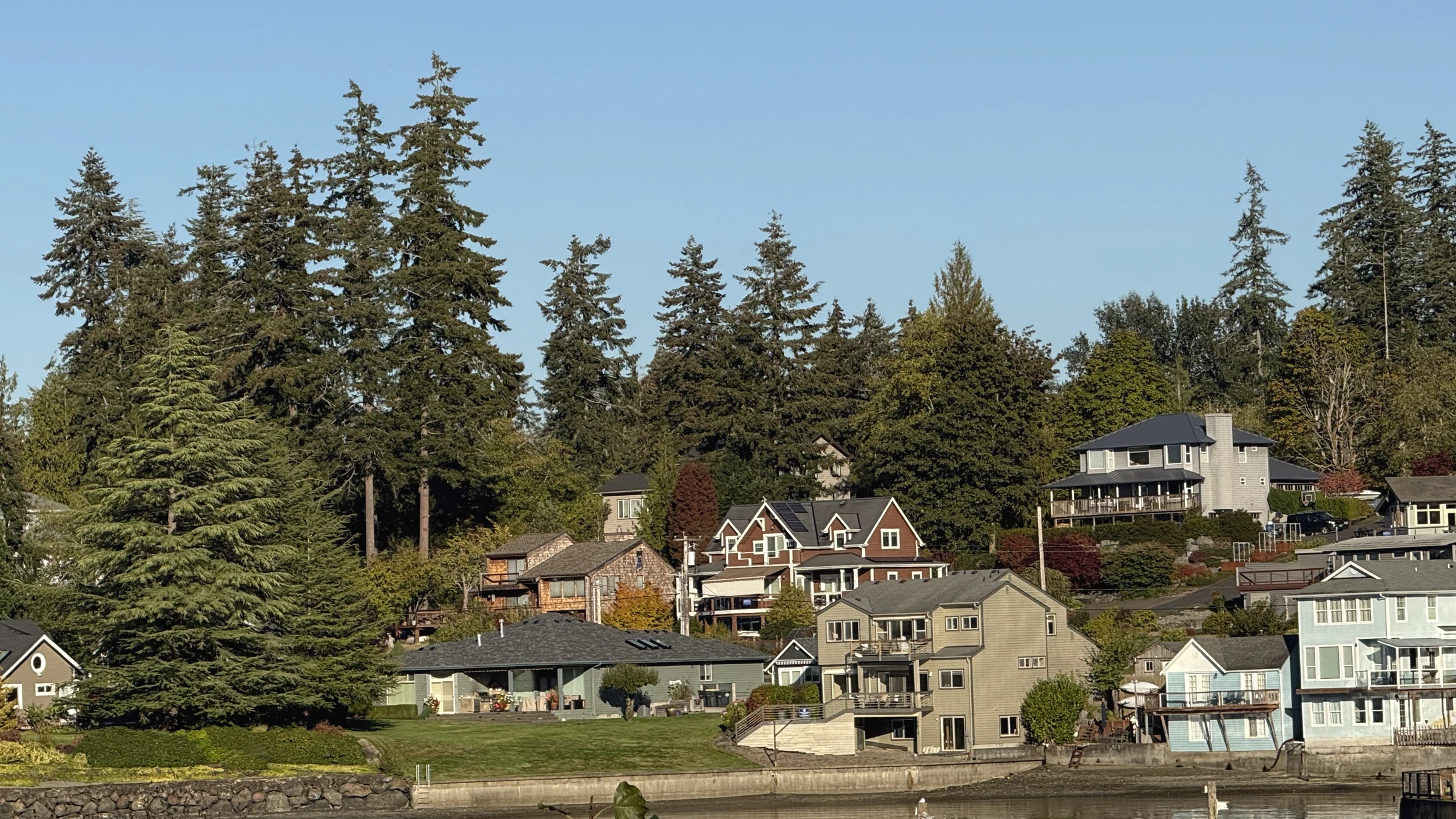
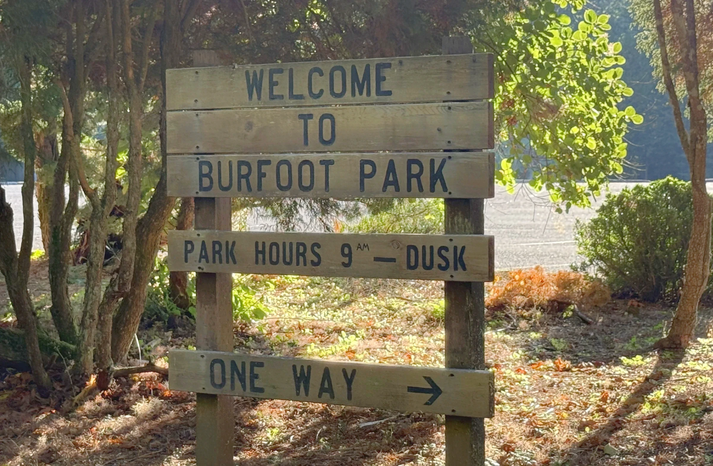
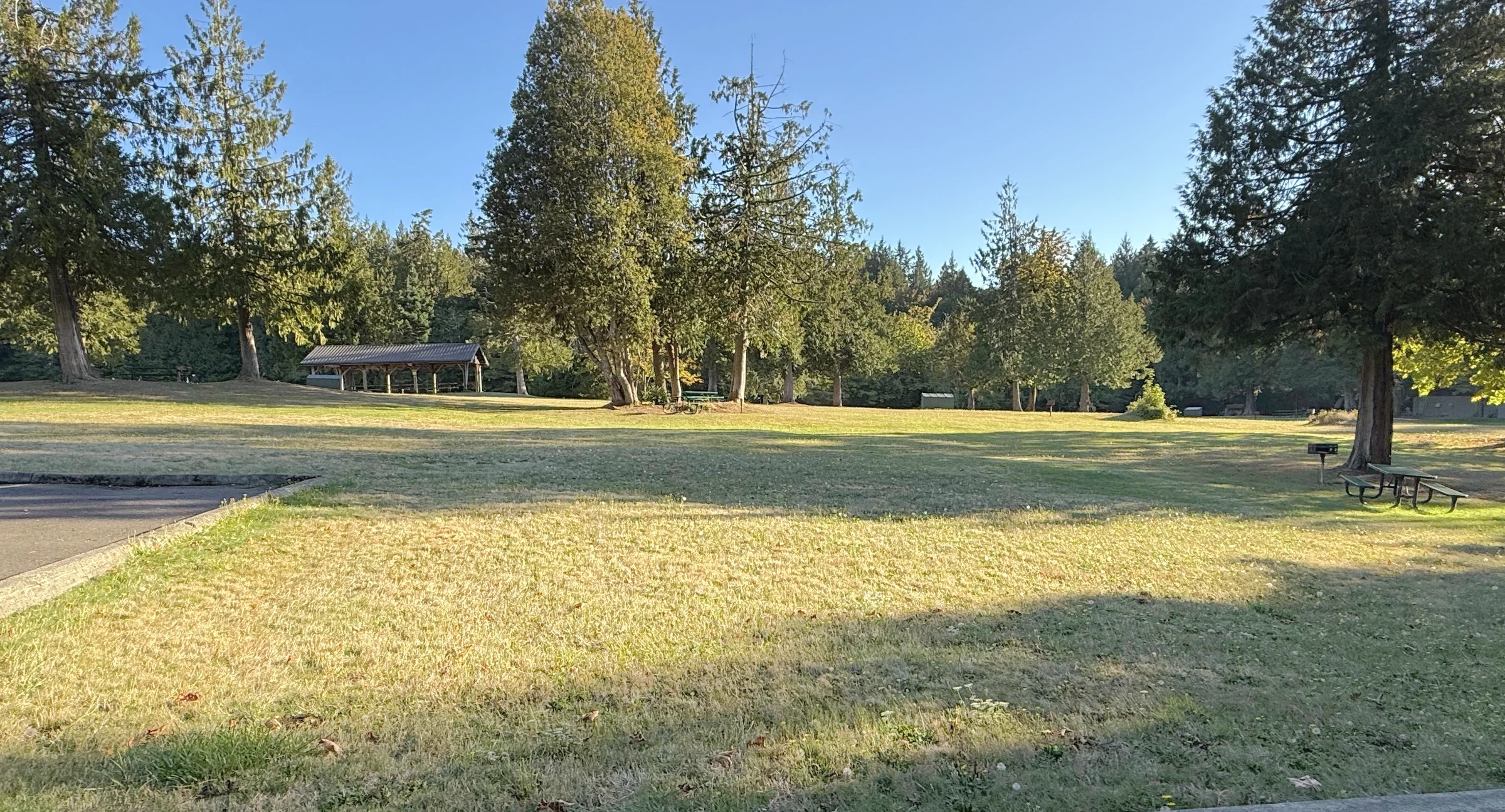
Get to know the streets
Explore local streets and landmarks. Pins orient you to the area; shaded outlines are city-mapped associations, not the boundaries of this browsing region.
The local map in plain English
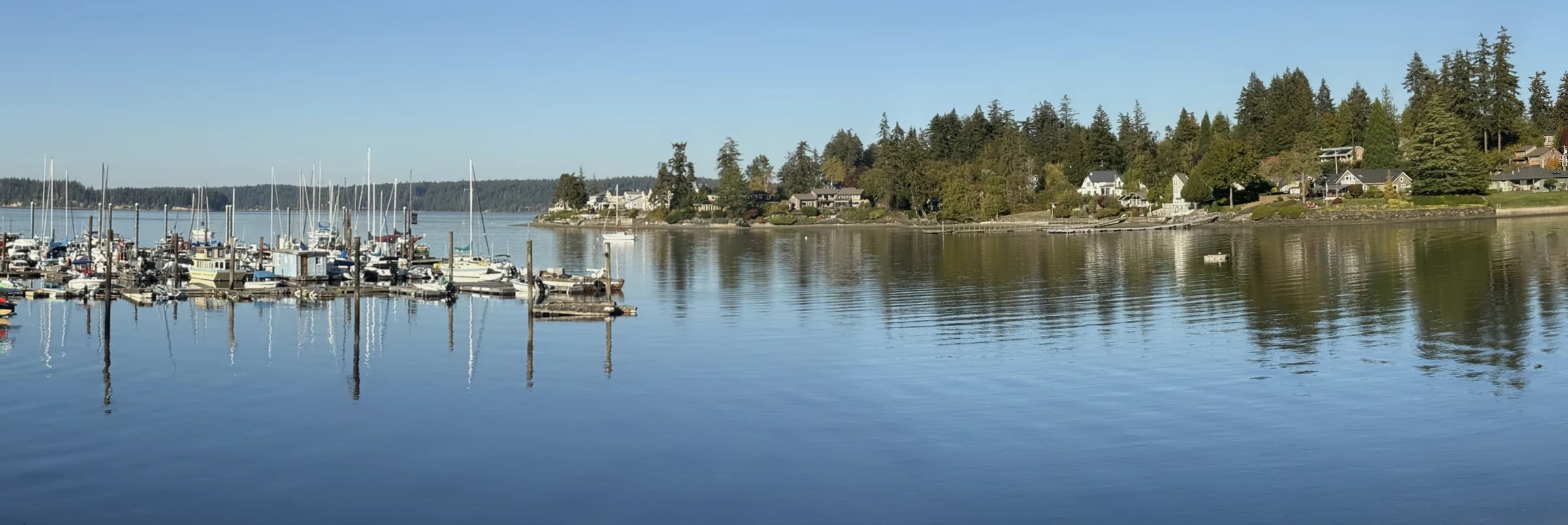
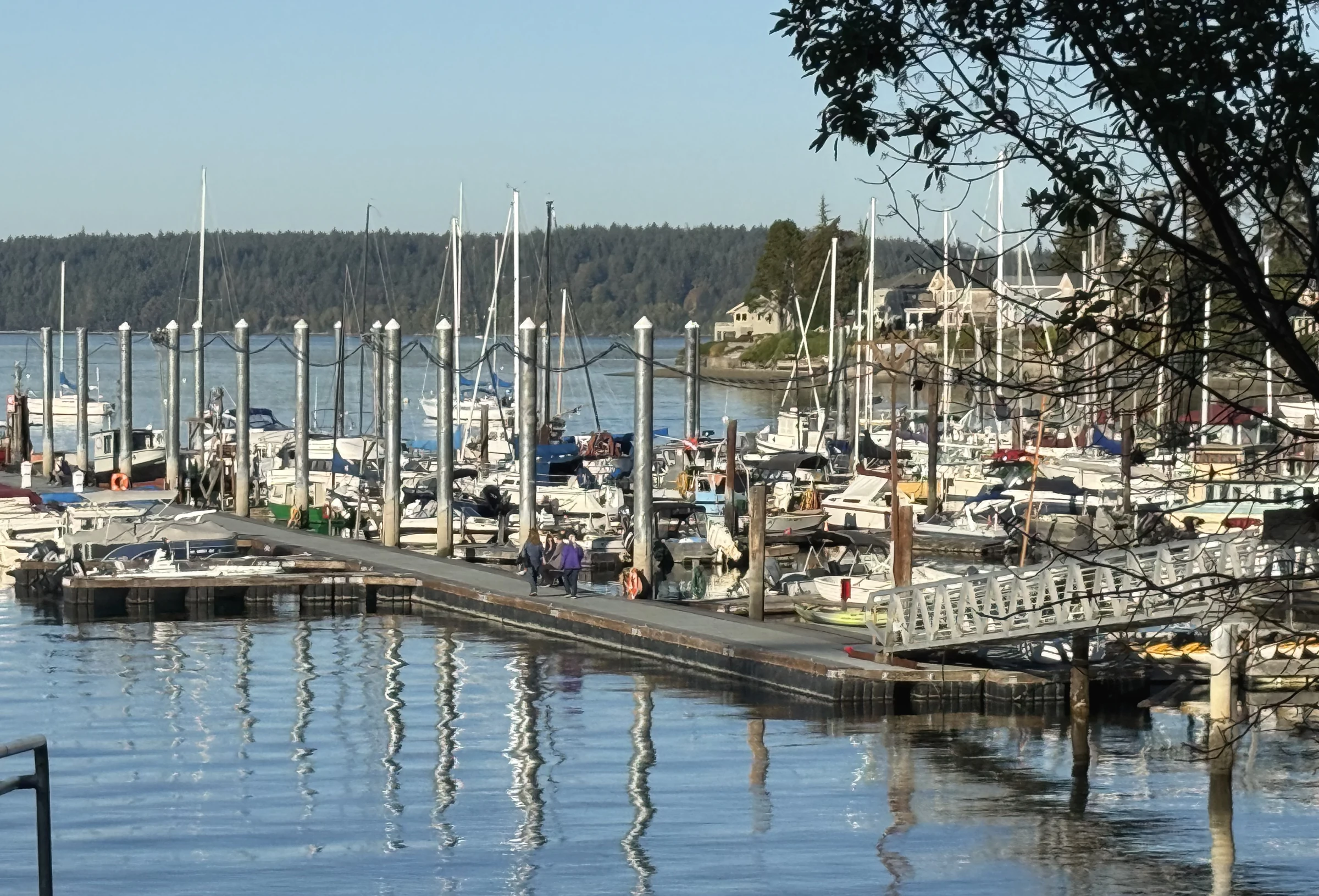
The harbor gives the place a center
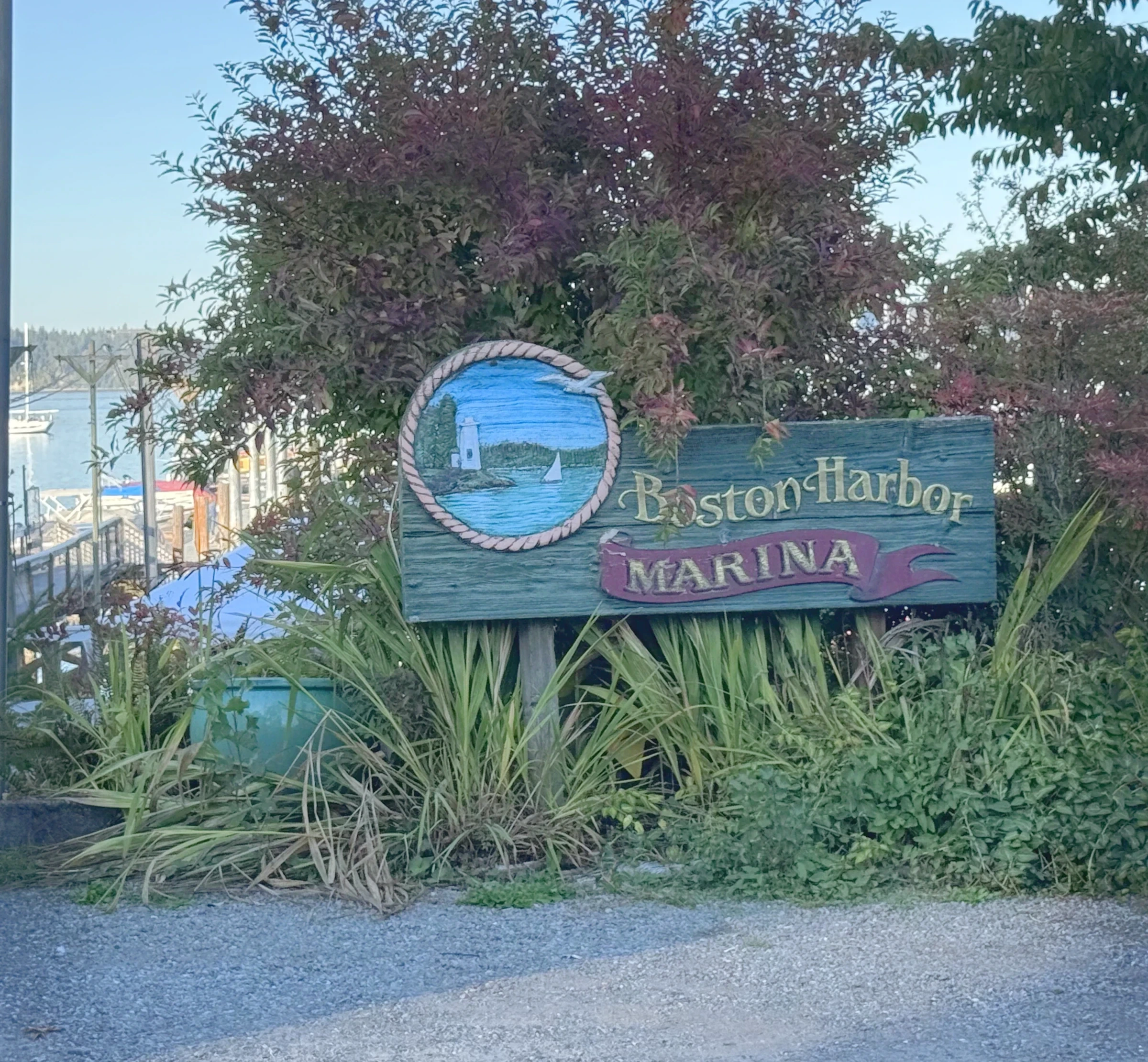
The marina gives Boston Harbor a visible meeting point. Docks, boats and the surrounding shoreline put the water in everyday view. Away from that center, mature trees and individual houses give the residential landscape a less uniform feel.
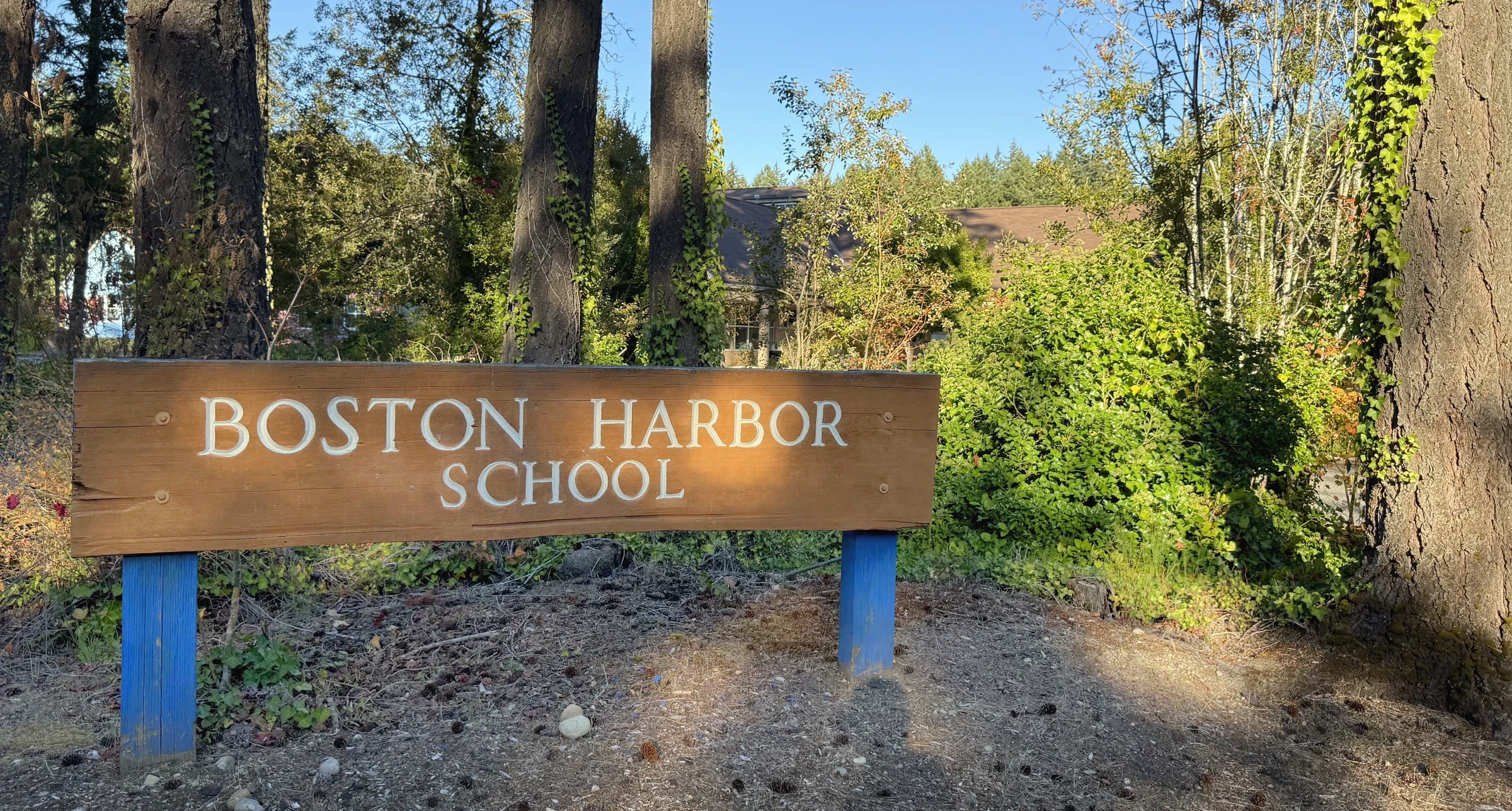
The school and Burfoot Park add other recognizable destinations. The park offers a public place to enjoy the landscape; a home with a nearby water view has its own separate access and ownership questions.
Follow an ordinary day
Try the route to work, groceries and the places you visit every week. Boston Harbor Road connects this quieter setting to Olympia, and the final approach is part of the experience of living here.
I would visit a promising home in more than one kind of weather. Trees that feel welcoming on a sunny afternoon can make the house quite dark in winter; the driveway and drainage deserve the same second look.
Compare this local guide with the other neighborhoods and pockets in its wider area.
A closer look inside Boston Harbor Peninsula
These local profiles surface a useful contrast in construction history, development or property responsibilities. Open the source notes before applying a community-level fact to a specific address.
History & construction
The county research keeps 3 recorded-name groups separate. “BOSTON HARBOR” has 248 county records with a year built from 1901–2026, median 1991; sampled residential lots have a 0.475-acre median (244 observations); “BOSTON HARBOR DIV 1” has 16 county records with a year built from 1940–2021, median 1999.5; sampled residential lots have a 0.355-acre median (16 observations). These assessor samples help compare building eras, but do not establish the first or last home in a subdivision or the permit history of an individual address.
Open this place profile →Local area
The NE-addressed Fishtrap Loop is included in the Boston Harbor Association’s geographic description.
Open this place profile →Latest neighborhood research · October 10, 2026
The wider region now includes additional recorded-name profiles, distinct divisions and dated development records. Construction-year samples and sourced builder roles belong to the named community or phase—not every home in this local guide.
Explore the updated neighborhood & subdivision directory →What the new records establish
These profiles retain the exact recorded names and the scope of each source.
County parcel records identify Boston Harbor around HIDDEN COVE LN NW, BAYVIEW DR NE. Related record names and divisions remain separate until their original maps and governing documents establish the relationship.
October 10, 2026 research snapshot. These are legal-description search groups, not a count of homes or certified plat boundaries. Divisions, phases and similarly named records remain separate. Year-built fields can include later replacement buildings and non-house property types.
| Recorded name | Year-built sample | Residential lot sample |
|---|---|---|
| BOSTON HARBOR389 named parcel observations | 1901–2026248 year observations · median 1991 | 0.475 acres median244 acreage observations |
| BOSTON HARBOR DIV 120 named parcel observations | 1940–202116 year observations · median 1999.5 | 0.355 acres median16 acreage observations |
| BOSTON HARBOR PH 11 named parcel observations | Not established | Not established |
Acreage is the median of positive lot-size observations below 100 acres coded RES in the research, not a measurement of every home lot. Samples can be incomplete or overlap; do not add them to calculate community totals. Confirm the actual parcel, original permit, additions and recorded map before relying on a date or size.
Evidence: parcel records. Development dates, association formation and individual home completion are separate facts. Research updated October 10, 2026.
The buyer’s side of the story
The community name is useful context. It does not establish utilities, jurisdiction or waterfront rights.
Read title and recorded easements before treating a water view or nearby beach as an access right.
Identify the actual water and wastewater systems and their maintenance records for the home.
Look at drainage, tree condition, roof exposure and access alongside the interior.
Use the school district’s current address lookup rather than proximity to the school.
The honest exchange
Picture the week, not just the weekend.
Boston Harbor is worth exploring if water and trees are central to the setting you want. Start at the marina, then try the route and street around the actual home.
Sources behind this guide
The neighborhood story draws on firsthand observation, local history and reporting. Parcel-level jurisdiction, utilities, hazards and recorded obligations still belong in current public records and transaction documents.
Community history, association context and a community map.
Open source ↗Boston Harbor MarinaThe marina’s location and waterfront community context.
Open source ↗Burfoot Park — Thurston CountyOfficial county park information.
Open source ↗Thurston County GeoDataParcel-level maps for investigating jurisdiction and property context.
Open source ↗Keep exploring
Your next step, at your pace
I can help you buy a home—from choosing where to look and touring properties to negotiating your offer and navigating closing. Tell me what you’re hoping to find. We’ll talk about working together and make a plan.