
Parks & local places
West Bay Park · West Bay Woods · Garfield Nature Trail. Check the route and public access from the home you’re considering.
A local guide to everyday life
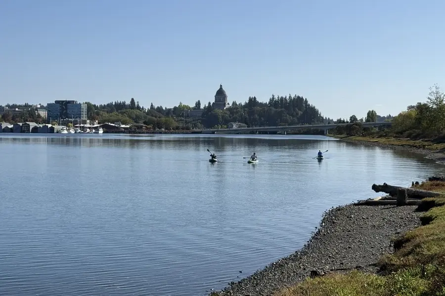
Working waterfront below, wooded hillside above: West Bay changes by elevation, view angle and street connection more than a single neighborhood label suggests.
Older cottages, mid-century homes, view properties and contemporary infill
Views and privacy can come with stairs, grades and retaining costs.
Start with the address
School boundaries can differ from city limits, mailing addresses and neighborhood names. Check the specific home before relying on an assignment.
Open the county’s Elections and Schools Map or Property Map. Search the address, then confirm the result with the district.
Enrollment information and the district’s school-boundary lookup. This is a regional starting point, not a confirmed assignment for Northwest Olympia & West Bay.
An ordinary week
West Bay Park · West Bay Woods · Garfield Nature Trail. Check the route and public access from the home you’re considering.
Compare groceries, pharmacy stops and your other regular errands from the actual driveway. Check store hours and the trip at the time you normally go.
West Bay Drive · Rogers Street · Harrison Avenue · Olympic Way · Brawne Avenue. Test the connection from your street at your actual travel hours.
When you’re ready to look
Live listings are not connected
A verified property search can be added here once a provider and search area are selected. There are no live listing results on this page.
See the place
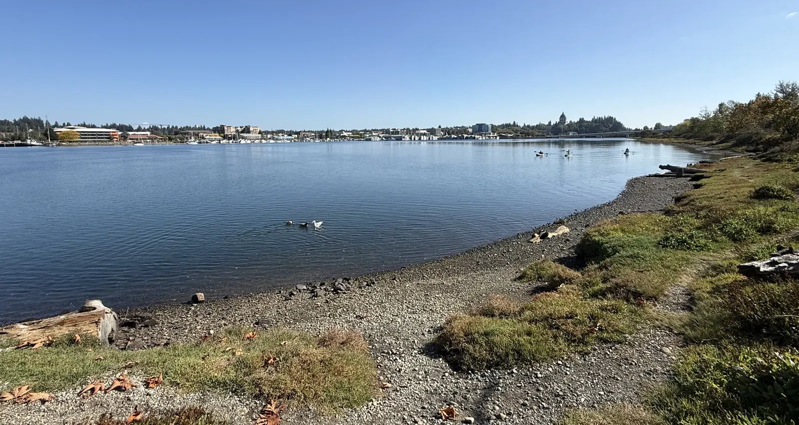
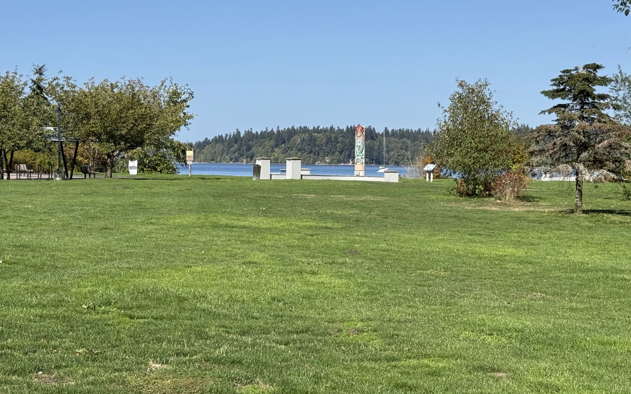
Original photographs by Kyle Murphy. Open a thumbnail for the full view and location caption.
Only if you want the deeper dive
Street-level photos, local history and the detailed housing research are here when you need them.
Get to know the streets
Explore local streets and landmarks. Pins orient you to the area; shaded outlines are city-mapped associations, not the boundaries of this browsing region.
The local map in plain English
Two levels of West Bay
At water level, West Bay still shows its working history: the inlet, marinas, industrial remnants and redevelopment all share the view. Climb toward Northwest Olympia and the streets become residential, wooded and sometimes unexpectedly steep. A home can look across Budd Inlet toward downtown while feeling tucked away from it.
The lower route is simple until it is busy; the upper streets can be quiet until a steep driveway becomes the daily reality. This is a place where orientation matters. Morning light, winter shade and what sits below the view should all be experienced, not inferred from listing photos.
Privacy five minutes from town
Northwest Olympia can deliver a rare Olympia combination: a short trip to downtown, mature trees and a sense of separation. Garfield Nature Trail, neighborhood parks and the restored West Bay Woods thread habitat and footpaths through a hillside that otherwise looks fully urban from below.
The same terrain puts retaining walls, runoff, driveway grade and tree exposure near the top of the inspection plan. A view is wonderful; access to the view in January matters too.
Compare this local guide with the other neighborhoods and pockets in its wider area.
A closer look inside West Olympia
These local profiles surface a useful contrast in construction history, development or property responsibilities. Open the source notes before applying a community-level fact to a specific address.
History & construction
“BAYHILL” has 132 county records with a year built from 2006–2014, median 2007; sampled residential lots have a 0.1-acre median (131 observations). These assessor samples help compare building eras, but do not establish the first or last home in a subdivision or the permit history of an individual address.
Open this place profile →Builders & development stages
KOP Construction is attributed to Capitol Lake Towers specifically, not every building using the Evergreen Park name.
Open this place profile →Latest neighborhood research · October 10, 2026
The wider region now includes additional recorded-name profiles, distinct divisions and dated development records. Construction-year samples and sourced builder roles belong to the named community or phase—not every home in this local guide.
Explore the updated neighborhood & subdivision directory →The buyer’s side of the story
On this side of town, the land often explains the house.
Ask who built it, when, under what permit and how drainage is handled. A wall’s appearance alone says little about its performance.
Research zoning, public projects and private development below or beside a view property. Do not treat borrowed scenery as a recorded right.
Test turning, guest parking, deliveries and wet-weather access. A dramatic approach can become a recurring inconvenience.
Screen drainage, slope and mapped critical areas even when the home is not on the shoreline.
The honest exchange
Stand outside longer
If a listing wins you with a view, stay through the traffic cycle and walk the driveway. This area can feel special in a way few other neighborhoods near downtown do, but the site deserves equal attention with the house.
Sources behind this guide
The neighborhood story draws on firsthand observation, local history and reporting. Parcel-level jurisdiction, utilities, hazards and recorded obligations still belong in current public records and transaction documents.
City limits, recognized neighborhood associations, planning areas and official map resources.
Open source ↗Thurston County GeoDataParcel, jurisdiction, permitting, critical-area, flood and soils map viewers.
Open source ↗Intercity TransitCurrent routes and connections for testing transit from a particular address.
Open source ↗ThurstonTalk: West Bay WoodsLocal reporting on the restored hillside habitat above West Bay Drive.
Open source ↗Keep exploring
Your next step, at your pace
I can help you buy a home—from choosing where to look and touring properties to negotiating your offer and navigating closing. Tell me what you’re hoping to find. We’ll talk about working together and make a plan.