Skip to page content

Olympia area · Region guide

Evergreen & Eld Inlet

The college-side woods, Overhulse and Driftwood roads, and the east shore of Eld Inlet.

Explore 5 community profiles ↓
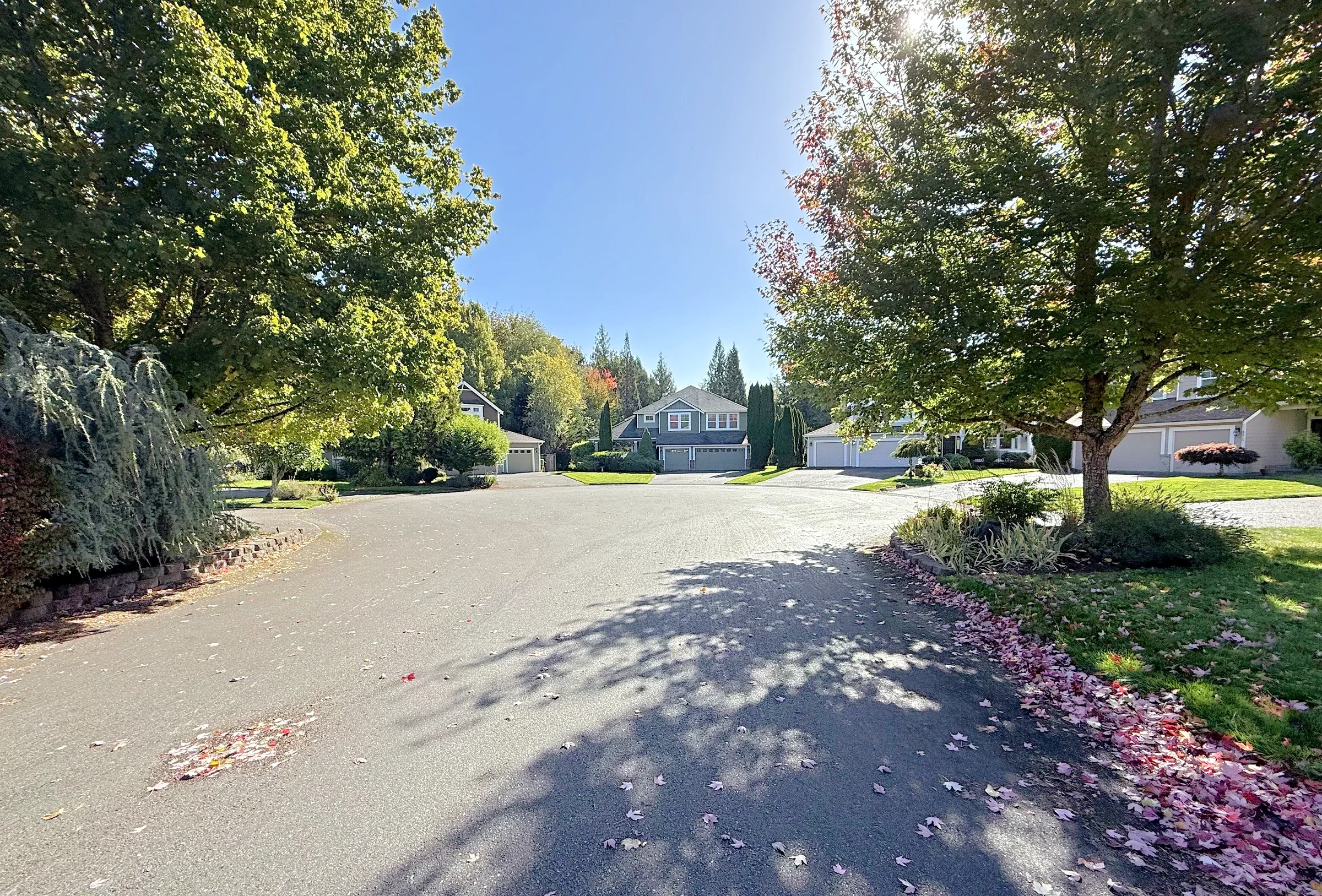
A Cedrona residential street beneath mature evergreens
Cedrona, within Evergreen & Eld Inlet

The setting

West of the Cooper Point Road corridor on the same peninsula, this region centers on The Evergreen State College, Evergreen Parkway, Overhulse and the wooded Eld Inlet approach.

The homes

Wooded detached-home communities, individual rural and shoreline properties, and apartments on the college approach. The campus is a cultural and outdoor landmark.

Before you compare

Primarily unincorporated Thurston County with Olympia mailing addresses; this browsing region is not a city boundary.

5 community profiles

Go one level closer

Neighborhoods within Evergreen & Eld Inlet

5 community profiles

Map & everyday geography

Get to know the streets

A closer look at the area.

Explore local streets and landmarks. Pins orient you to the area; shaded outlines are city-mapped associations, not the boundaries of this browsing region.

Streets: OpenStreetMap. Outlines: City of Olympia association data, retrieved September 19, 2026. Association outlines are not city limits or the full extent of every guide.View all neighborhoods →

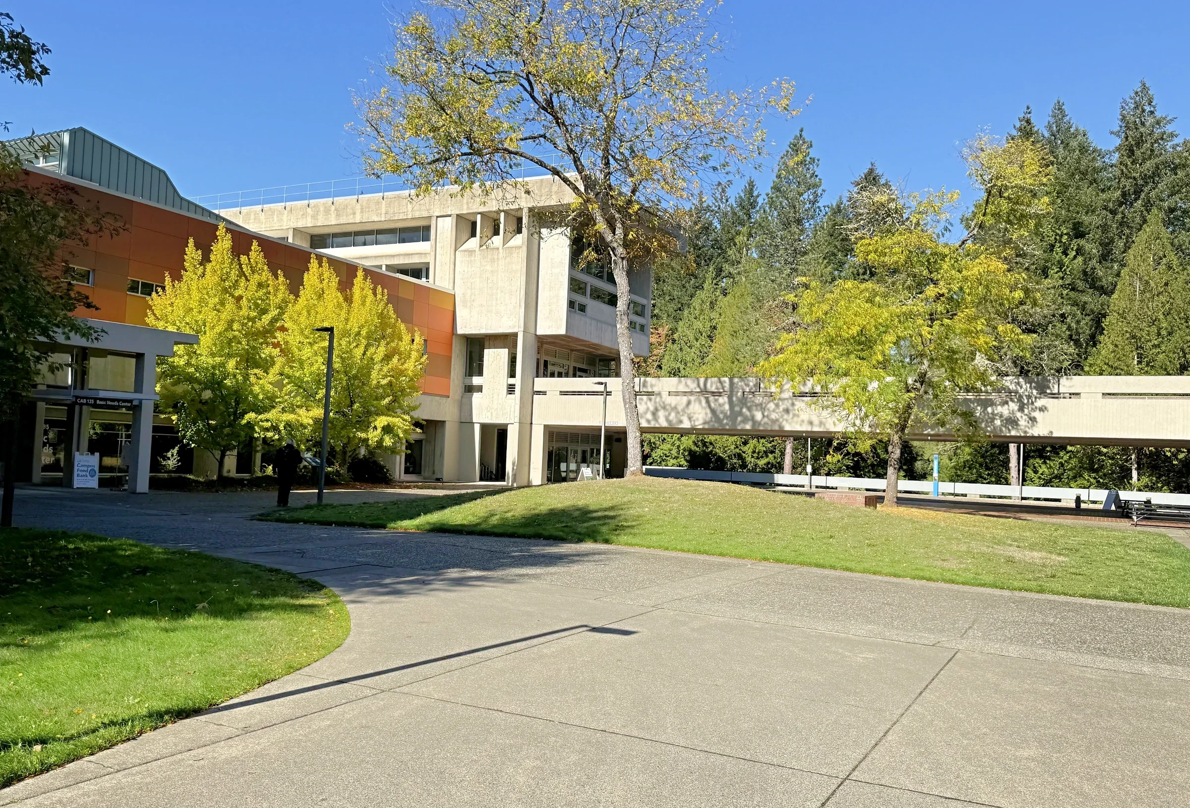
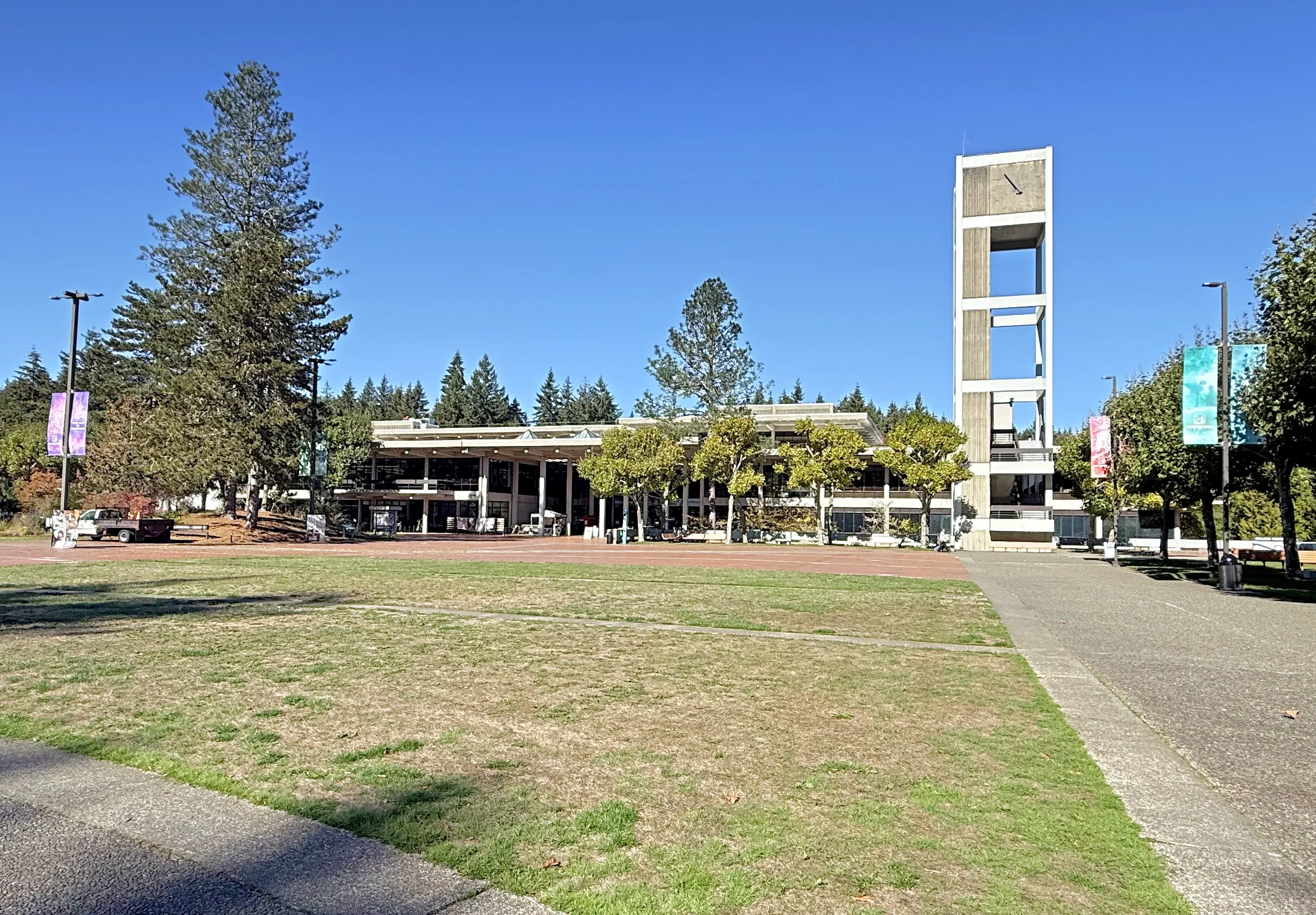
The college is a landmark; campus photographs do not represent residential homes.

Evergreen Shores is a Black Lake community, listed under Delphi & Black Lake.

The Green Cove watershed reaches across browsing regions; it is not one subdivision boundary.

Detailed neighborhood research, recorded names & construction history

Inside Evergreen & Eld Inlet

Neighborhoods, subdivisions & smaller places.

Compare each place on its own. Builder history, house age, style and ownership arrangements can change between neighboring streets. Recorded-name groups and dated development projects are labeled separately from established communities.

Subdivision

Cedrona

A detached-home community on the Kaiser/Evergreen approach. In the county sample, 104 residential year-built values fall between 1997 and 2001 (median 1998); the original builder history is not established by the sources reviewed.

Construction context: The county parcel sample has 104 residential year-built observations from 1997–2001, with a median of 1998. Assessor values are a sample, not a certified subdivision buildout chronology.

Developer: The original land developer has not been established in the sources reviewed. A named homebuilder would not, by itself, establish the plat developer.

Housing detail: Detached homes. The sampled residential lots have a median area of 0.32 acres across 104 observations; individual lots and home layouts vary.

Shared rights & responsibilities: A community association has a public document portal. Request current governing documents, budget, dues, reserves and resale information for the specific home.

Housing history, ownership & sources
Construction history
The county parcel sample has 104 residential year-built observations from 1997–2001, with a median of 1998. Assessor values are a sample, not a certified subdivision buildout chronology.
Residential lot sample
0.32 acres median across 104 residential observations. Individual lots vary; this is not a subdivision-wide minimum or maximum.
Housing & styles
Detached homes. The sampled residential lots have a median area of 0.32 acres across 104 observations; individual lots and home layouts vary.
Developer
The original land developer has not been established in the sources reviewed. A named homebuilder would not, by itself, establish the plat developer.
Homebuilder
Original builder has not been established in the sources reviewed.
Ownership details
A community association has a public document portal. Request current governing documents, budget, dues, reserves and resale information for the specific home.
Location & setting
Residential streets on the Kaiser/Evergreen approach. The college and Eld Inlet are regional landmarks; neither establishes campus housing, waterfront ownership or beach access.
Street examples
CEDRONA DR NW. Sample streets, not a boundary or a matched parcel list.
Parcel-sample jurisdiction
Unincorporated Thurston County. This reflects the sampled parcels, not every property in the wider browsing region.
Recorded names & construction-year samples (1 record groups)

October 10, 2026 research snapshot. These are legal-description search groups, not a count of homes or certified plat boundaries. Divisions, phases and similarly named records remain separate. Year-built fields can include later replacement buildings and non-house property types.

Assessor sample by exact recorded name
Recorded nameYear-built sampleResidential lot sample
CEDRONA107 named parcel observations1997–2001104 year observations · median 19980.32 acres median104 acreage observations

Acreage is the median of positive lot-size observations below 100 acres coded RES in the research, not a measurement of every home lot. Samples can be incomplete or overlap; do not add them to calculate community totals. Confirm the actual parcel, original permit, additions and recorded map before relying on a date or size.

Evidence: community documented. Development dates, association formation and individual home completion are separate facts. Research updated October 10, 2026.

Read the place profile →

Local area

Green Cove / Eld Inlet shore

Inlet-facing and Green Cove surroundings on the college side. Conserved land, public trails and residential access are different geographies.

Housing history, ownership & sources
Construction history
A complete construction range is not yet established; verify the house in Assessor and original permit records.
Housing & styles
An architectural style is not inferred from a year-built field. Confirm the actual house and original plans.
Homebuilder
Original builder has not been established in the sources reviewed.

Evidence: community documented. Development dates, association formation and individual home completion are separate facts.

Read the place profile →

Subdivision

Hidden Ridge

Hidden Ridge is included in our Evergreen & Eld Inlet guide. County records in the “HIDDEN RIDGE” sample include 50 buildings dated 2000–2001, with sampled addresses on WESTSIDE DR NW and CEDRONA DR NW. This is a snapshot, not the complete neighborhood buildout.

Recorded construction samples:
  • 2000–2001 · 50 year observations · 0.125-acre median residential lot

Sampled buildings; not a complete buildout history.

Housing history, ownership & sources
Construction history
2000–2001 in 50 county year-built observations; median 2001. This is a recorded-building sample, not a complete original buildout chronology.
Residential lot sample
0.125 acres median across 50 residential observations. Individual lots vary; this is not a subdivision-wide minimum or maximum.
Housing & styles
An architectural style is not inferred from a year-built field. Confirm the actual house and original plans.
Homebuilder
Original builder has not been established in the sources reviewed.
Street examples
WESTSIDE DR NW · CEDRONA DR NW. Sample streets, not a boundary or a matched parcel list.
Parcel-sample jurisdiction
Unincorporated Thurston County. This reflects the sampled parcels, not every property in the wider browsing region.
Recorded names & construction-year samples (1 record groups)

October 10, 2026 research snapshot. These are legal-description search groups, not a count of homes or certified plat boundaries. Divisions, phases and similarly named records remain separate. Year-built fields can include later replacement buildings and non-house property types.

Assessor sample by exact recorded name
Recorded nameYear-built sampleResidential lot sample
HIDDEN RIDGE53 named parcel observations2000–200150 year observations · median 20010.125 acres median50 acreage observations

Acreage is the median of positive lot-size observations below 100 acres coded RES in the research, not a measurement of every home lot. Samples can be incomplete or overlap; do not add them to calculate community totals. Confirm the actual parcel, original permit, additions and recorded map before relying on a date or size.

Evidence: community documented. Development dates, association formation and individual home completion are separate facts. Research updated October 10, 2026.

Read the place profile →

Subdivision

Madera

Madera is included in our Evergreen & Eld Inlet guide. County records in the “MADERA” sample include 1 buildings dated 2016, with sampled addresses on RED FERN DR NW and CARDINAL DR NW. This is a snapshot, not the complete neighborhood buildout.

Recorded construction samples:
  • MADERA: 2016 · 1 year observations · 0.83-acre median residential lot
  • MADERA DIV ONE: 2001–2004 · 74 year observations · 0.14-acre median residential lot
  • MADERA DIV TWO: 2003–2004 · 81 year observations · 0.14-acre median residential lot

Sampled buildings; not a complete buildout history.

Governance: Madera Estates has a current local association website. It establishes local association identity, not the exact relationship of all Madera division-name variants or common access rights.Source ↗

Housing history, ownership & sources
Construction history
MADERA: 2016 (1 year observations); MADERA DIV ONE: 2001–2004 (74 year observations); MADERA DIV TWO: 2003–2004 (81 year observations). Separate recorded groups, not one combined buildout range.
Housing & styles
An architectural style is not inferred from a year-built field. Confirm the actual house and original plans.
Homebuilder
Original builder has not been established in the sources reviewed.
Street examples
RED FERN DR NW · CARDINAL DR NW · LADY FERN LOOP NW. Sample streets, not a boundary or a matched parcel list.
Parcel-sample jurisdiction
Unincorporated Thurston County. This reflects the sampled parcels, not every property in the wider browsing region.
Governance
Madera Estates has a current local association website. It establishes local association identity, not the exact relationship of all Madera division-name variants or common access rights.Source ↗
Recorded names & construction-year samples (4 record groups)

October 10, 2026 research snapshot. These are legal-description search groups, not a count of homes or certified plat boundaries. Divisions, phases and similarly named records remain separate. Year-built fields can include later replacement buildings and non-house property types.

Assessor sample by exact recorded name
Recorded nameYear-built sampleResidential lot sample
MADERA1 named parcel observations20161 year observations · median 20160.83 acres median1 acreage observations
MADERA DIV ONE74 named parcel observations2001–200474 year observations · median 20030.14 acres median74 acreage observations
MADERA DIV TWO83 named parcel observations2003–200481 year observations · median 20040.14 acres median81 acreage observations
MADERA DIVISION ONE3 named parcel observationsNot establishedNot established

Acreage is the median of positive lot-size observations below 100 acres coded RES in the research, not a measurement of every home lot. Samples can be incomplete or overlap; do not add them to calculate community totals. Confirm the actual parcel, original permit, additions and recorded map before relying on a date or size.

Evidence: community documented. Development dates, association formation and individual home completion are separate facts. Research updated October 10, 2026.

Read the place profile →

Local area

Overhulse & Driftwood

Wooded roads and individual properties near the college and Eld Inlet, rather than one recorded plat.

Shared rights & responsibilities: Check road maintenance, easements, water and septic per parcel.

Housing history, ownership & sources
Construction history
A complete construction range is not yet established; verify the house in Assessor and original permit records.
Housing & styles
An architectural style is not inferred from a year-built field. Confirm the actual house and original plans.
Homebuilder
Original builder has not been established in the sources reviewed.
Ownership details
Check road maintenance, easements, water and septic per parcel.

Evidence: community documented. Development dates, association formation and individual home completion are separate facts.

Read the place profile →

A named place is included even when photographs or a complete builder history are still being gathered. Exact home facts belong to its parcel, plat, permits and current association documents.

A closer look inside Evergreen & Eld Inlet

Start with the details that change from one place to another.

These local profiles surface a useful contrast in construction history, development or property responsibilities. Open the source notes before applying a community-level fact to a specific address.

History & construction

Cedrona

“CEDRONA” has 104 county records with a year built from 1997–2001, median 1998; sampled residential lots have a 0.32-acre median (104 observations). These assessor samples help compare building eras, but do not establish the first or last home in a subdivision or the permit history of an individual address.

Open this place profile →

Utilities, access & ownership

Madera

Madera Estates has a current local association website. It establishes local association identity, not the exact relationship of all Madera division-name variants or common access rights.

Open this place profile →
More local photographs & existing guides

Local landmarks & street-level context

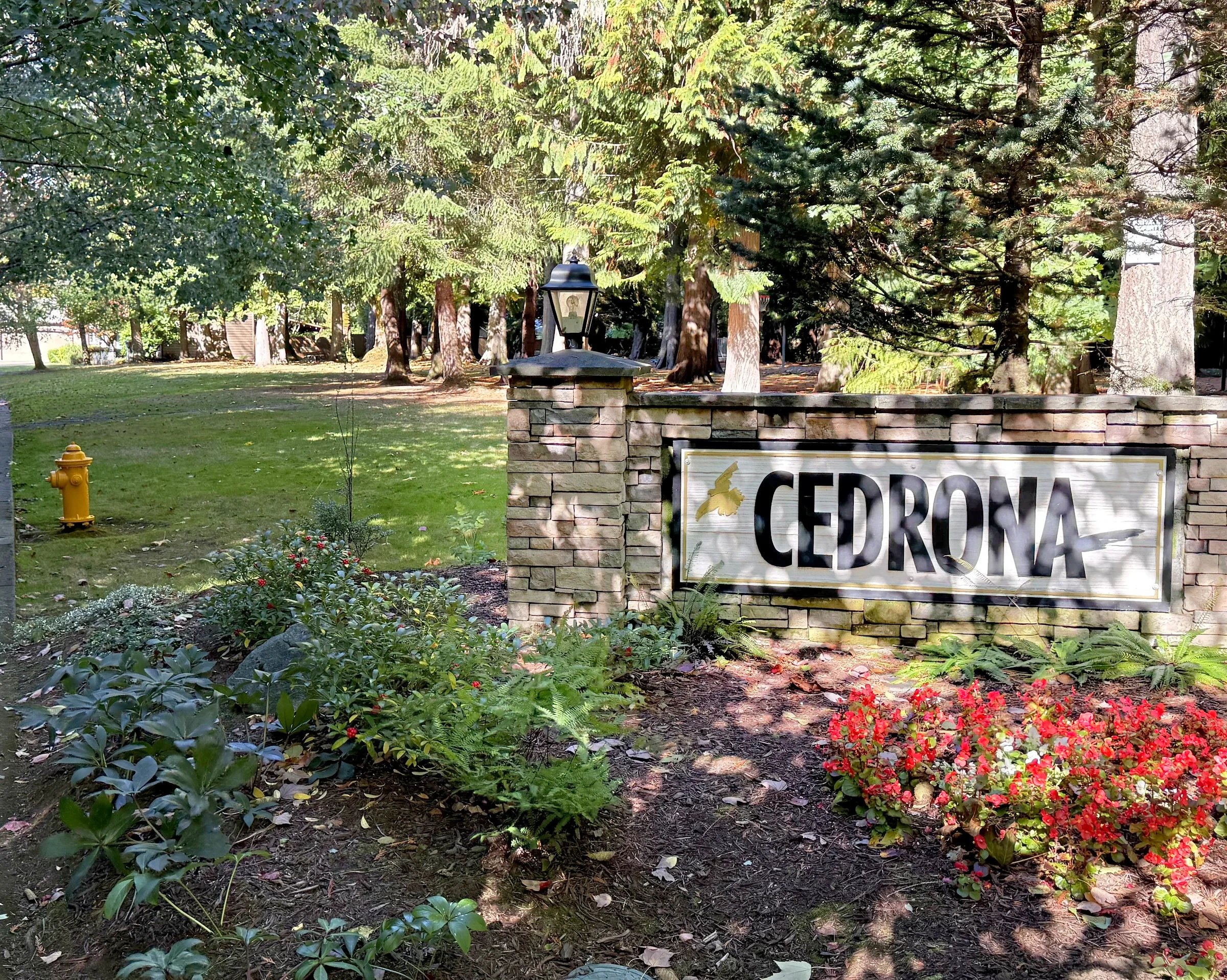
Cedrona shows the residential side of this region. The Evergreen State College photographs show the campus as part of the area’s culture and community life.

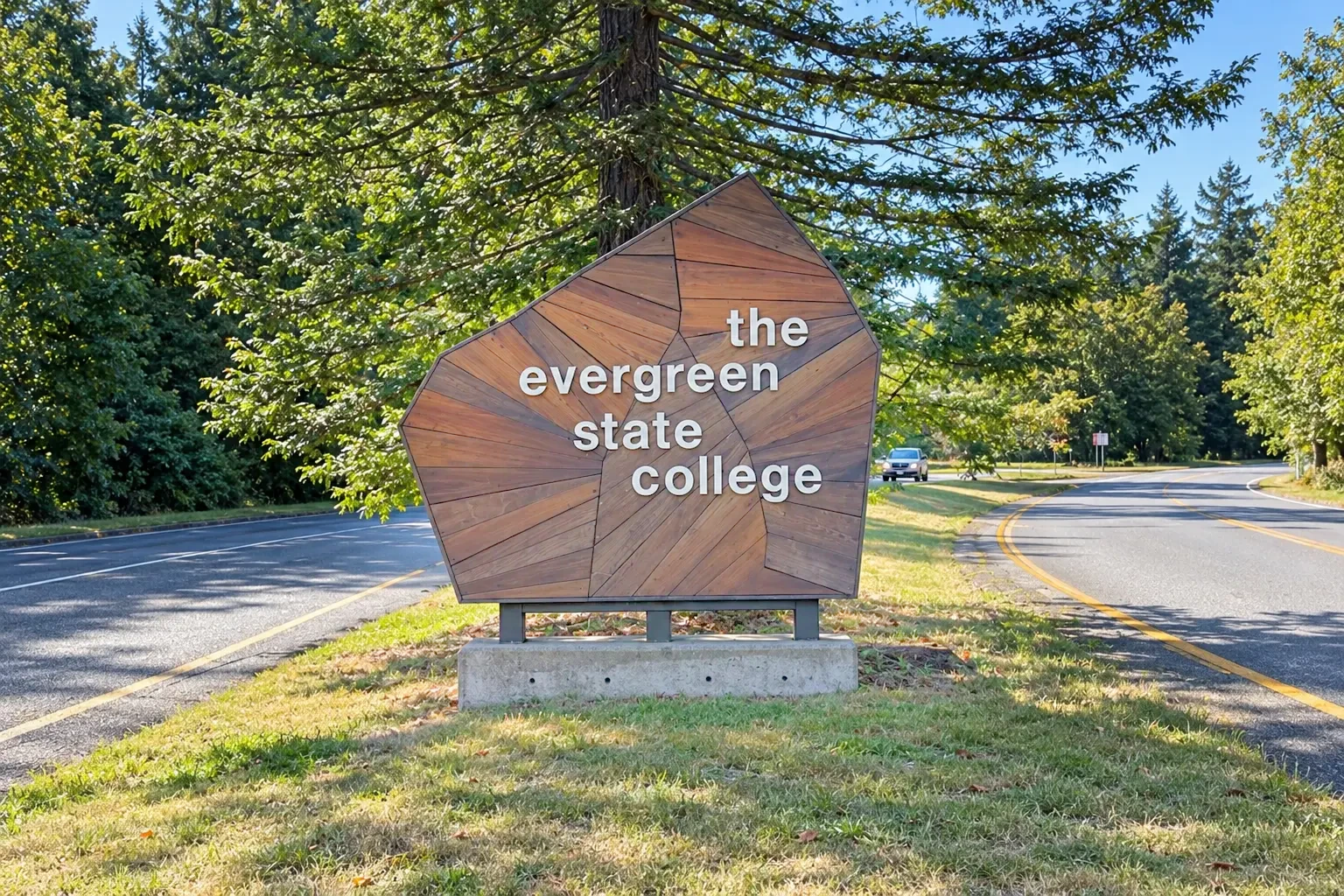
The Evergreen State College entrance sign
The Evergreen State College is a cultural and outdoor landmark for this region. This photograph shows the campus approach, not residential housing.
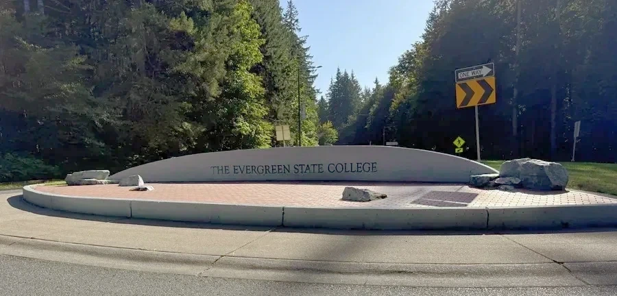
Roundabout at The Evergreen State College
The campus road network helps orient the college-side region. Nearby wooded residential communities have separate place profiles.
A quiet Cedrona residential street beneath mature evergreens
Mature trees, changing setbacks and individual homes give Cedrona a residential setting of its own.
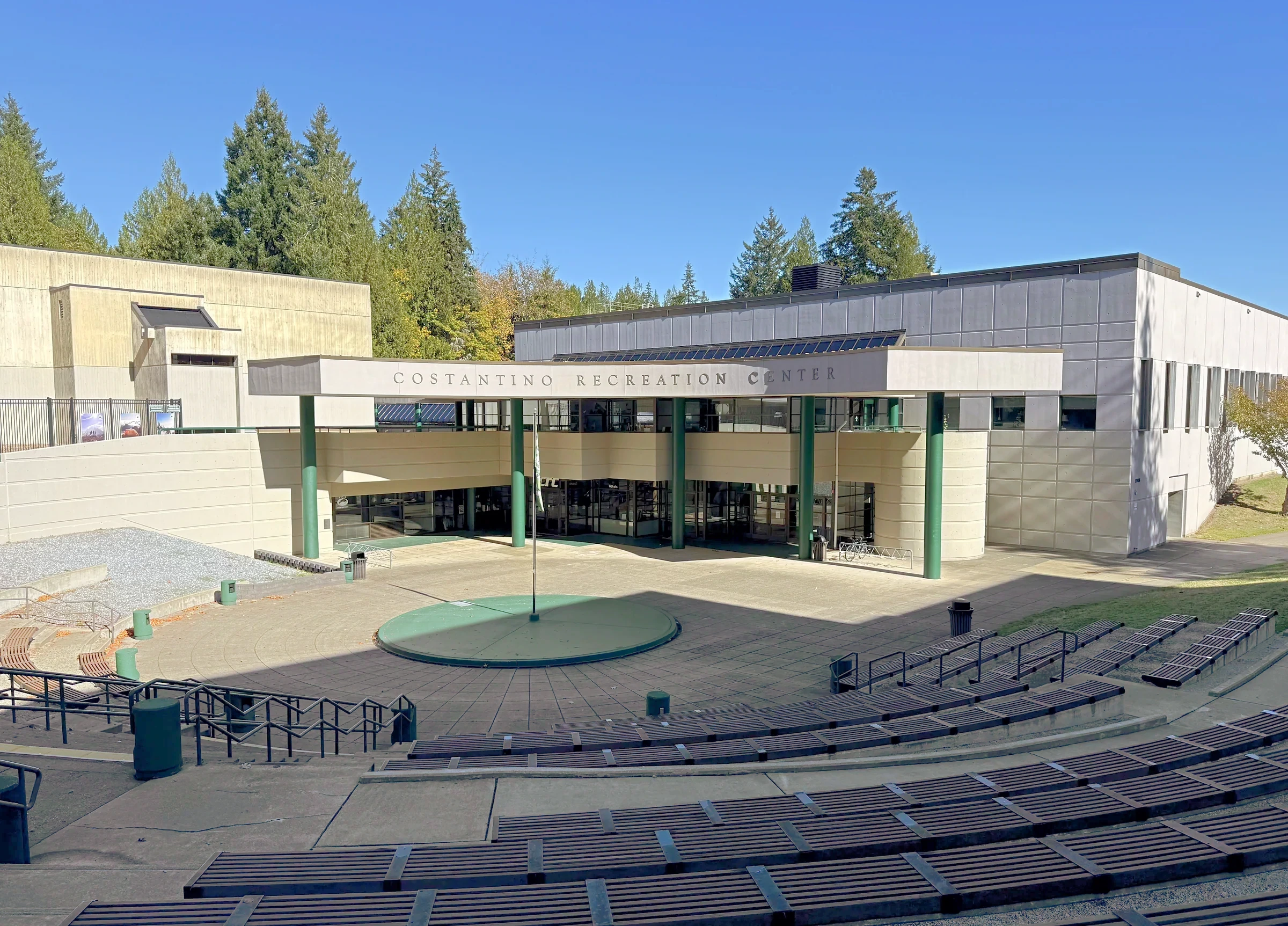
The Costantino Recreation Center and outdoor amphitheater at The Evergreen State College
On campus: the recreation center and outdoor amphitheater show Evergreen’s gathering spaces and its place in the surrounding area’s culture.
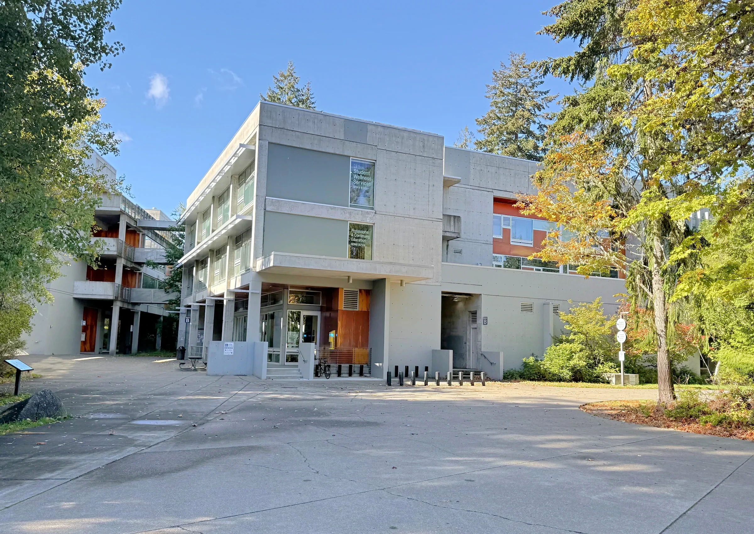
An academic building and courtyard at The Evergreen State College
On campus: academic buildings and courtyards are part of Evergreen’s setting. This is a college landmark within the wider region.
A shaded walkway and academic buildings at The Evergreen State College
On campus: mature trees and shaded walkways connect the college buildings, adding context to the area’s wooded character.
The campus tower and lawn at The Evergreen State College
On campus: the tower and lawn offer a wider look at Evergreen as a cultural landmark. Campus spaces are separate from the surrounding residential communities.
Sources & how to read this research

Parcel-research snapshot: October 10, 2026. Page copy reviewed October 11, 2026. Regional labels are browsing choices; original records determine parcel facts. The directory is an expanding researched selection, not a certified complete inventory of every subdivision.

How the neighborhood records are interpreted →

← Browse all Olympia regions · Compare two local guides ↗
Landmark photographs do not establish school attendance, public access or property rights.

Stay informed

Your local market, explained.

Get Kyle’s weekly brief, monthly housing report, or both.

Kyle Knows Oly

Your local edge.
Straight to your inbox.

Weekly local discoveries and buying tips. Monthly Thurston County housing numbers, explained by Kyle Murphy.

Preview the latest market report →

Add a phone number or a note (optional)
Email preferences

By submitting, you ask Kyle to email your selected updates. Unsubscribe at any time. Privacy