
Parks & local places
Munn Lake surroundings. Check the route and public access from the home you’re considering.
A local guide to everyday life
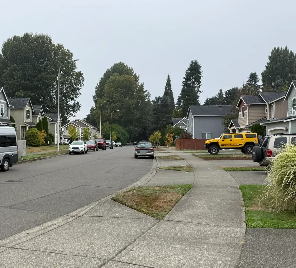
The Bush Prairie and Munn Lake setting east of the airport, with an older Bush Prairie subdivision and distinct Deschutes River Highlands, Park Ridge, Deschutes Ridge and Deschutes Heights communities.
Newer production homes, planned communities, legacy rural houses and acreage
Construction and changing traffic may continue after move-in.
Start with the address
School boundaries can differ from city limits, mailing addresses and neighborhood names. Check the specific home before relying on an assignment.
Open the county’s Elections and Schools Map or Property Map. Search the address, then confirm the result with the district.
Find Your School: locate your parcel and school information. This is a regional starting point, not a confirmed assignment for Bush Prairie & Munn Lake.
An ordinary week
Munn Lake surroundings. Check the route and public access from the home you’re considering.
Compare groceries, pharmacy stops and your other regular errands from the actual driveway. Check store hours and the trip at the time you normally go.
Arab Drive · Trails End Drive · Rich Road · Henderson Boulevard. Test the connection from your street at your actual travel hours.
When you’re ready to look
Live listings are not connected
A verified property search can be added here once a provider and search area are selected. There are no live listing results on this page.
See the place
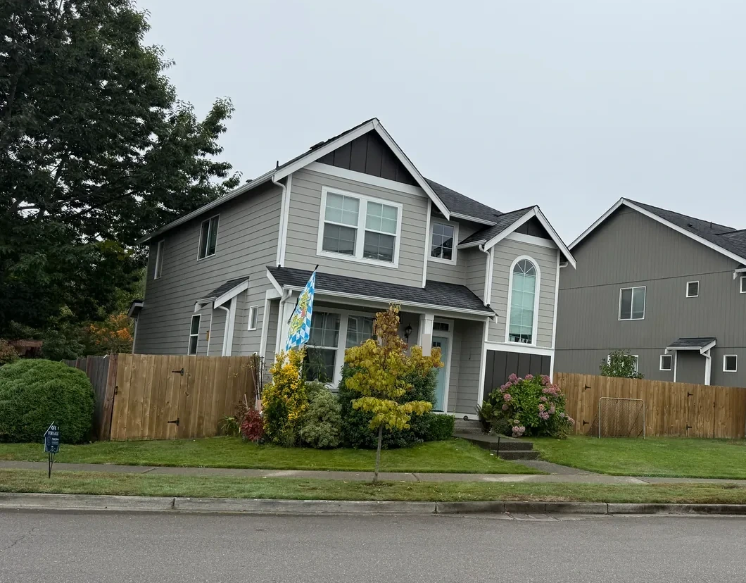
Original photographs by Kyle Murphy. Open a thumbnail for the full view and location caption.
Only if you want the deeper dive
Street-level photos, local history and the detailed housing research are here when you need them.
Get to know the streets
Explore local streets and landmarks. Pins orient you to the area; shaded outlines are city-mapped associations, not the boundaries of this browsing region.
The local map in plain English
Separate two southern settings
The city’s Bush Prairie appendix places the Bush Prairie subdivision along Arab Drive west of Trails End, and separately identifies the river/bluff communities around Munn Lake. Deschutes River Highlands, Park Ridge, Deschutes Ridge and Deschutes Heights retain their own records.
The Preserve and Bradbury south of the airport along Old Highway 99 are in a separate Airport & Old Highway 99 browsing region. A south-Tumwater mailing label should not merge those settings.
Read the phase
LGI Homes documented the September 2017 Deschutes River Highlands launch with one-level and two-story plans. That offering does not establish the builder or completion year of every home in every phase.
For the actual house, compare the legal subdivision, permit, construction year, alteration history, grading, utilities and association. A lake nearby does not establish shoreline or dock access.
Compare this local guide with the other neighborhoods and pockets in its wider area.
A closer look inside Bush Prairie & Munn Lake
These local profiles surface a useful contrast in construction history, development or property responsibilities. Open the source notes before applying a community-level fact to a specific address.
History & construction
The county research keeps 4 recorded-name groups separate. “BRIDLEWOOD DIV 2” has 97 county records with a year built from 2004–2006, median 2005; sampled residential lots have a 0.1-acre median (97 observations); “BRIDLEWOOD DIV 1” has 74 county records with a year built from 2003, median 2003; sampled residential lots have a 0.1-acre median (74 observations). These assessor samples help compare building eras, but do not establish the first or last home in a subdivision or the permit history of an individual address. 1 additional groups appear in the table below.
Open this place profile →Builders & development stages
EVERGREEN STATE BUILDERS; PUGET SOUND HOMES; Tronie Homes (documented properties in DESCHUTES HEIGHTS)
Open this place profile →Latest neighborhood research · October 10, 2026
The wider region now includes additional recorded-name profiles, distinct divisions and dated development records. Construction-year samples and sourced builder roles belong to the named community or phase—not every home in this local guide.
Explore the updated neighborhood & subdivision directory →The buyer’s side of the story
The lot, phase and future surroundings matter as much as the warranty booklet.
Inspect drainage, swales, crawlspace conditions and the relationship between adjacent lots, especially in active or recently completed phases.
Use city project files and zoning for vacant parcels, road extensions and remaining phases.
Check operations and visit at different times rather than making a broad claim about all of south Tumwater.
Screen current habitat and permitting information before assuming an addition, clearing or detached shop is straightforward.
The honest exchange
Look beyond the model home
Compare the specific Munn Lake or Bush Prairie community, then test the route and look at drainage and recorded ownership obligations.
Sources behind this guide
The neighborhood story draws on firsthand observation, local history and reporting. Parcel-level jurisdiction, utilities, hazards and recorded obligations still belong in current public records and transaction documents.
Comprehensive planning, annexation and subarea resources for Tumwater.
Open source ↗Thurston County GeoDataParcel, jurisdiction, permitting, critical-area, flood and soils map viewers.
Open source ↗Tumwater neighborhood appendixBush Prairie, Munn Lake and the separately named subdivisions.
Open source ↗Keep exploring
Your next step, at your pace
I can help you buy a home—from choosing where to look and touring properties to negotiating your offer and navigating closing. Tell me what you’re hoping to find. We’ll talk about working together and make a plan.